Business Details
Your Trusted Partner for Land Surveying & Civil Engineering Solutions
Boundary Zone has built a reputation as a trusted provider of land surveying, land planning, civil engineering, and landscape architecture services across the Southeastern United States. With decades of combined experience, our team delivers precise data and client-focused solutions to developers, builders, and property owners. We utilize advanced technology including robotic total stations, GPS, and drones to ensure exceptional accuracy and efficiency. Our mission centers on helping clients understand property boundaries to enable informed land use, protection, and development. Licensed in 11 states, we combine local expertise with a multidisciplinary approach to streamline complex projects.Our commitment to technical excellence and clear communication has earned consistent client satisfaction. We specialize in boundary surveys, topographic mapping, construction staking, and zoning consulting, among other services. Offices in Georgia, North Carolina, and Florida support regional clients, while our expanded markets cover Alabama, Tennessee, South Carolina, and Mississippi. By prioritizing precision, responsiveness, and long-term partnerships, we ensure projects start with a solid foundation. Our teams dedication to innovation and problem-solving makes us a reliable extension of every clients project team.
Services
Land Surveying
Land Planning
Civil Engineering
Developer Services
Permit Acquisition
Boundary Surveys
Topographic Mapping
Construction Staking
Zoning Consulting
Highlights and features
- We have decades of experience in land surveying and civil engineering across 11 states.
- Our team uses advanced technology like drones and GPS for exceptional accuracy.
- Licensed professionals ensure compliance with state-specific regulations and standards.
- We provide multidisciplinary services to streamline development projects from concept to completion.
- Our client-focused approach prioritizes clear communication and timely, dependable results.
Services
Land Surveying
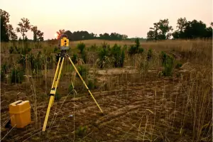
Boundary Zone delivers precise land surveying services, including boundary determination, topographic mapping, and ALTA/NSPS land title surveys. Our use of drones, GPS, and robotic total stations ensures high accuracy for residential, commercial, and municipal projects. Licensed teams in 11 states provide reliable data to support development and legal compliance.
Civil Engineering
Our civil engineering services focus on land disturbance permits, stormwater management, and utility design. We create detention pond certifications, hydrology analyses, and earthwork balance calculations to meet regulatory requirements. These solutions ensure sustainable and code-compliant infrastructure for developers and builders.
Land Planning
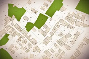
We offer land planning services, including conceptual community designs, entrance monuments, and residential site plans. Our team integrates zoning research and flood elevation data to optimize land use while maintaining compliance. This approach streamlines approvals and enhances project feasibility for clients.
Developer Services
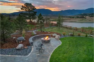
Boundary Zone provides developer services such as conceptual amenity area design, permit acquisition, and MRPA application assistance. Our multidisciplinary team ensures seamless coordination between surveying, engineering, and planning to accelerate project timelines and reduce administrative hurdles for large-scale developments.
Permit Acquisition
We specialize in permit acquisition, including zoning applications, building permits, and land disturbance permits. Our experts navigate local regulations to secure approvals efficiently, reducing delays and ensuring compliance with environmental, safety, and land use standards for residential and commercial projects.
Questions
What services does Boundary Zone offer?
We provide land surveying, civil engineering, land planning, and permit acquisition services for residential, commercial, and municipal projects.
In which states does Boundary Zone operate?
We serve Georgia, North Carolina, Florida, Alabama, Tennessee, South Carolina, and Mississippi, with licensed teams in all these states.
What technologies does Boundary Zone use?
We utilize robotic total stations, GPS, drones, and 3D laser scanning for accurate and efficient surveying and mapping.
What types of land surveys do you perform?
We conduct boundary surveys, topographic surveys, ALTA/NSPS land title surveys, and construction staking projects.
Videos