Business Details
41 Years
experience
Your Trusted Land Surveying Partner in Colorado
Since 1985, we have dedicated ourselves to bridging the gap between the natural world and land use needs through expert land surveying. Our team combines traditional surveying principles with modern innovation to deliver precise, reliable solutions for residential, commercial, and public sector projects. As a 100% employee-owned company, we prioritize integrity, adaptability, and quality in every project. Our comprehensive services include boundary surveys, construction layout, reality capture, and specialized mapping solutions tailored to Colorado's unique terrain. With decades of experience serving Boulder, Denver, and Longmont, we maintain a reputation for technical excellence and client-focused service.Our professionals hold advanced certifications in GIS, UAS operations, and geospatial analysis to ensure accurate data collection. We work closely with engineers, architects, and developers to transform complex challenges into actionable insights. Our commitment to exceeding industry standards has earned us long-term partnerships with leading firms across the region. From initial consultations to project completion, we emphasize clear communication and timely deliverables. As industry leaders, we invest in cutting-edge technology while maintaining the personal service that defines our company culture.

Services
Boundary Surveys
Construction Layout
Reality Capture
Legal Descriptions
FEMA Certificates
Aerial LiDAR
Terrestrial Scanning
As-Built Surveys
Elevation Certificates
Clash Detection
Details
- Year established: 1985
Highlights and features
- We offer 40 years of specialized land surveying experience since 1985
- Our 100% employee-owned structure ensures personal accountability
- We utilize advanced LiDAR and drone mapping technologies
- Our team includes FAA-certified UAS pilots and GIS specialists
- We maintain long-term partnerships with leading engineering firms
What people say
Quality work
Depth of staffing
Reliable and adaptable
Precise and accurate
Super dependable
Services
Boundary Surveys
Our boundary surveys precisely define property lines using advanced GPS technology and historical records. We identify easements, encroachments, and legal descriptions to ensure accurate land documentation. Clients receive detailed plat maps that meet state-specific requirements for real estate transactions and development projects.
Construction Layout
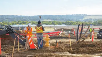
We provide precise construction staking services to guide building projects according to design specifications. Our team establishes benchmarks, verifies elevations, and marks critical points for foundations, utilities, and infrastructure. This ensures compliance with engineering plans and local regulations throughout the construction process.
Reality Capture
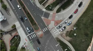
Our reality capture services use LiDAR and photogrammetry to create detailed 3D models of existing conditions. This technology enables accurate as-built documentation, clash detection, and progress monitoring for complex projects. We deliver actionable data in multiple formats for design and construction teams.
Legal Descriptions
We prepare and interpret precise legal descriptions for property transactions and development projects. Our surveyors ensure descriptions meet statutory requirements while accurately representing property boundaries. This service supports title transfers, easement agreements, and land division processes.
FEMA Certificates
We conduct FEMA elevation surveys to determine flood risk for insurance and regulatory purposes. Our certified professionals measure building elevations relative to floodplain data, providing documentation required for flood insurance premiums and building permits in high-risk areas.
Questions
What surveying services do you offer?
We provide boundary surveys, construction layout, reality capture, legal descriptions, FEMA certificates, and specialized mapping services using LiDAR and drone technology.
Which areas do you serve?
We operate throughout Colorado's Front Range region, including Boulder, Denver, and Longmont.
How long have you been in business?
We've provided surveying services since 1985, with our current team maintaining decades of collective experience.
What makes you different from other surveyors?
As a 100% employee-owned company, we combine technical expertise with personal accountability and advanced technologies like UAS mapping.
Do you handle both residential and commercial projects?
Yes, we serve both sectors with customized solutions for single-family homes, multi-family developments, and large-scale infrastructure projects.
How do you ensure survey accuracy?
We use state-of-the-art equipment, follow strict quality control protocols, and maintain certifications in GIS and remote sensing technologies.