
Business Details
49 Years
experience
Professional Surveying & Engineering Services in Houston
Andrew Lonnie Sikes, Inc. has been a trusted provider of professional surveying and civil engineering services since 1977. Founded by Andrew Lonnie Sikes, PE, RPLS, our firm combines decades of expertise with cutting-edge technology to deliver precise and reliable solutions for land development, infrastructure, and industrial projects. Our team of seasoned professionals holds advanced degrees and industry certifications, ensuring technical excellence in every project. We specialize in boundary surveys, hydrographic mapping, aerial imaging, and GIS integration, serving clients across Harris County and adjoining regions. With a legacy of innovation, we pioneered aerial mapping services in 1992 and continue to lead in delivering orthometrically corrected imagery and high-precision topographic data.Our commitment to quality is reflected in long-standing client relationships with institutions like Memorial Hermann Healthcare Systems and the Texas Department of Transportation. We maintain rigorous safety and compliance standards, ensuring personnel are trained for demanding environments. Our family-run ethos drives personalized service, while our deep understanding of local regulations streamlines permitting processes. Recognized for contributions to industry boards and academia, we uphold a tradition of excellence that spans generations. Clients choose us for our proven track record in transforming complex challenges into successful developments through meticulous front-end planning.
Services
Land Surveying
Civil Engineering
Hydrographic Surveying
Aerial Mapping
Ortho Imaging
GIS Services
Details
- Year established: 1977
Highlights and features
- We offer 45+ years of experience in Texas land surveying and civil engineering.
- Our family-run business maintains multi-generational technical expertise and accountability.
- We utilize advanced GPS, aerial mapping, and hydrographic survey technologies.
- Our team holds active roles in state and national surveying regulatory boards.
- We enforce strict safety protocols for industrial and institutional site access.
Services
Land Surveying
Our land surveying services provide precise boundary determinations for property transfers and development projects. We conduct title research, resolve boundary disputes, and prepare legal documentation. Clients rely on our expertise in adverse possession and right-of-way issues for commercial and industrial properties.
Civil Engineering
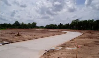
We offer civil engineering solutions including drainage systems, subdivision plats, and utility planning. Our team manages municipal projects and industrial site developments. With decades of experience, we ensure compliance with local regulations for Houston-area permitting agencies.
Aerial Mapping
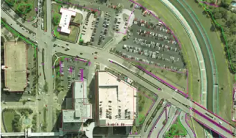
Our aerial mapping division creates high-resolution orthometric imagery using stereo photography. We've completed over 8,000 square miles of mapping for transportation and flood control projects. This technology enables efficient topographic analysis for large-scale developments.
Hydrographic Surveying
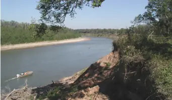
We specialize in underwater topographic surveys for bayou improvements and flood control projects. Our equipment measures submerged terrain to support dredging operations and bridge foundation assessments. Recent projects include detailed mapping of Brays Bayou for widening initiatives.
GIS Services
Our GIS integration combines mapping data with database systems for comprehensive project management. We've provided spatial analysis solutions for over a decade, helping clients visualize infrastructure relationships and environmental impacts through digital mapping platforms.
People
Andrew Lonnie Sikes
President
Licensed professional engineer and surveyor with 50+ years of experience. Served on Texas Board of Professional Surveyors and NCEES leadership. Adjunct professor at University of Houston. Founded the company in 1977 after NOAA service.
A. Lonnie Sikes II
Vice President
Civil engineering expert with 20+ years of project management experience. Specializes in municipal infrastructure design. Oversees engineering division since 2002. Licensed professional engineer in Texas.
Questions
What surveying services do you offer for commercial developments?
We provide boundary surveys, topographic mapping, and construction staking for commercial properties. Our team handles complex title research and zoning compliance for Houston-area developments.
Do you handle large-scale infrastructure projects?
Yes, we manage municipal infrastructure projects including drainage systems, roadways, and utility networks. Our engineers have completed projects for TxDOT and Harris County Flood Control District.
How does your aerial mapping technology benefit clients?
Our aerial mapping creates precise 3D models for site planning. This reduces field time by 40% and provides accurate elevation data for grading and drainage analysis.
Can you assist with industrial site surveys?
We specialize in industrial surveys requiring high-accuracy measurements. Our personnel have security clearances for restricted facilities and experience mapping complex manufacturing sites.
What makes your firm different from other surveying companies?
Our combination of multi-generational expertise, advanced technology adoption, and deep understanding of Texas regulatory requirements ensures reliable results for complex projects.
Do you provide expert testimony for boundary disputes?
Yes, our surveyors serve as expert witnesses in boundary litigation. We provide detailed documentation and court testimony based on thorough deed research and field measurements.